
Arapahoe County planning panel unanimously advances Strasburg 2050 growth plan
The proposed update would replace Strasburg’s 2002 subarea plan, revise future land-use guidance around downtown and Highway 36, and send water, wastewater and wildlife questions to county commissioners for final review.
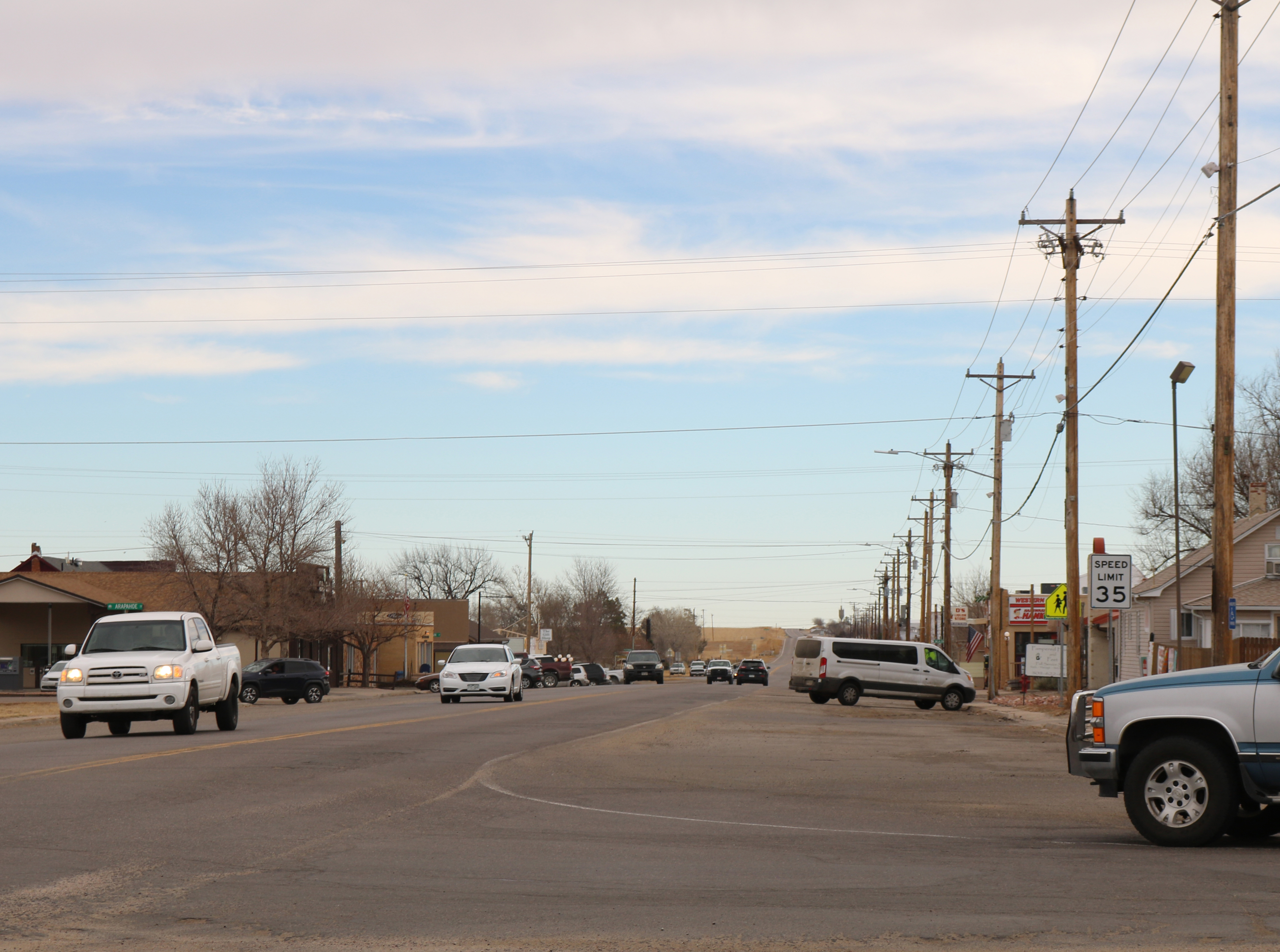
Arapahoe County’s Planning Commission voted 7-0 on June 16 to recommend adopting the Strasburg 2050 Subarea Plan as an amendment to the county’s 2018 comprehensive plan, sending the long-range policy update to the Board of County Commissioners for a final decision, staff and commissioners said during the hearing.
The proposed plan would replace Strasburg’s 2002 subarea plan and guide growth in the unincorporated Arapahoe County portion of Strasburg for roughly the next 25 years, county planning staff said. Staff described the planning area as running from 48th Avenue to East 6th Avenue and from Yule Road to North Pash Me By Road, next to the Schmidt subdivision, in the Arapahoe County side of the small community split with Adams County.
The biggest changes in the draft involve the county’s policy map for future growth, not current zoning. The plan says its future land-use map is a guide for later development decisions, not a zoning map, and that changing a map designation does not by itself entitle development without later county approvals such as comprehensive-plan amendments, rezonings and plats, the plan document says.
According to staff, the update revises the future land-use map to add properties east of Headlight Road, include the Schmidt subdivision and add some properties along Highway 36, while also changing much of downtown Strasburg from commercial to mixed use for more flexibility and to reflect the mix already on the ground. The plan also expands mixed use along East Colfax Avenue and caps that category at 14 dwelling units per acre in keeping with Strasburg’s rural setting, the draft plan says.
The draft also adds future land-use categories for railroad and recreation commercial uses. In official plan materials, the new recreation-commercial category is meant to highlight tourism and recreation assets such as the Comanche Crossing Museum and a proposed recreation center. Staff told commissioners it would also cover the KOA campground and a model-railroad property along Highway 36.
The update appears to affect named map areas more clearly than individually identified private parcels. In the records reviewed for this story, county staff and plan documents specifically discussed the Schmidt subdivision, Comanche Crossing, Wolf Creek Run, downtown Strasburg, and properties along Highway 36 or East Colfax Avenue, but the available materials did not verify parcel-by-parcel ownership or lot numbers for the Arapahoe County changes.
One specific map change documented in the draft is Wolf Creek Run, which shifts from Residential Low to Residential Medium to better match existing density, . Staff also said most existing residential areas in the subarea are already platted subdivisions and that future housing would mostly be expected on agricultural land only if later applicants win a comprehensive-plan amendment, rezoning and platting approval.